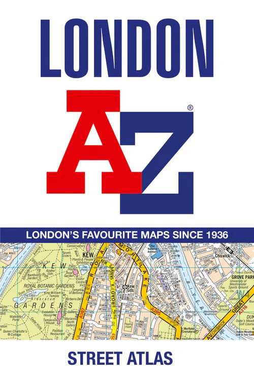
Central London A-Z Pocket Street Map: Detailed and accurate iconic street map of London (26th edition)
Central London A-Z Pocket Street Map: Detailed and accurate iconic street map of London (26th edition)
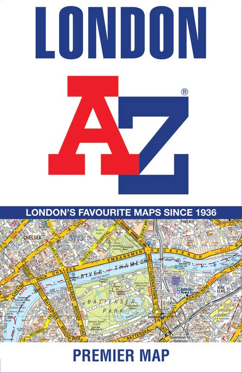
Navigate your way around Central London with detailed street maps from A-Z
This fully updated, folded map covers all of Central London, including: Regent's Park, King's Cross, The Barbican, Spitalfields, Tower Bridge, The South Bank, Waterloo Station, Westminster, South Kensington, Paddington Station and Lord's Cricket Ground.
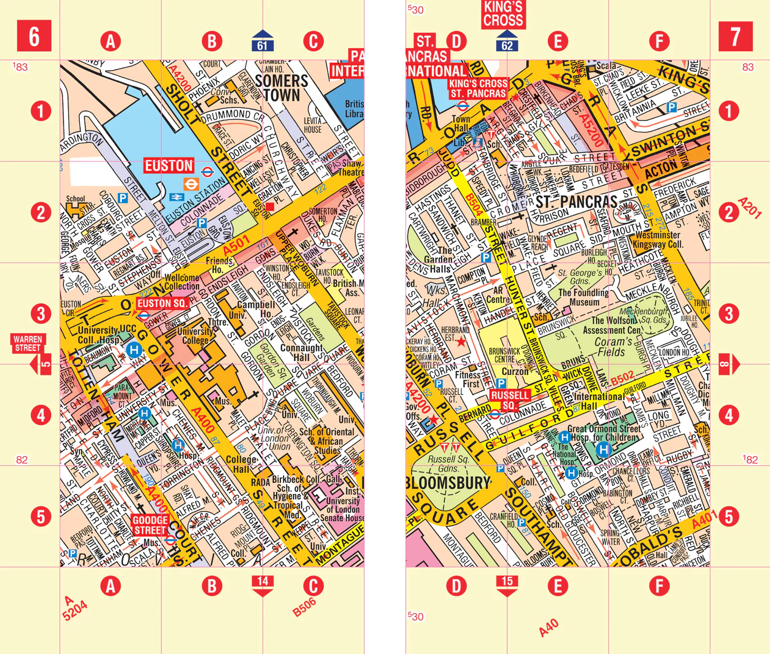
This large scale 1 mile to 4.5 inch (1 km to 7.14 cm) street map includes the following:
• Places of interest
• One-way streets and car parks
• Index to streets, places of interest, place and area names, park and ride sites, national rail stations, hospitals and hospices
• Separate lists of streets, places of interest, cinemas, theatres and stations (which include London Underground, National Rail and Docklands Light Railway stations)
• A central London Underground Map is printed on the back cover.
The perfect reference map for finding your way around Central London.
More Images


Central London A-Z Pocket Street Map: Detailed and accurate iconic street map of London (26th edition)
Navigate your way around Central London with detailed street maps from A-Z
This fully updated, folded map covers all of Central London, including: Regent's Park, King's Cross, The Barbican, Spitalfields, Tower Bridge, The South Bank, Waterloo Station, Westminster, South Kensington, Paddington Station and Lord's Cricket Ground.
This large scale 1 mile to 4.5 inch (1 km to 7.14 cm) street map includes the following:
• Places of interest
• One-way streets and car parks
• Index to streets, places of interest, place and area names, park and ride sites, national rail stations, hospitals and hospices
• Separate lists of streets, places of interest, cinemas, theatres and stations (which include London Underground, National Rail and Docklands Light Railway stations)
• A central London Underground Map is printed on the back cover.
The perfect reference map for finding your way around Central London.
Product Information
Product Information
Shipping & Returns
Shipping & Returns
Description
Navigate your way around Central London with detailed street maps from A-Z
This fully updated, folded map covers all of Central London, including: Regent's Park, King's Cross, The Barbican, Spitalfields, Tower Bridge, The South Bank, Waterloo Station, Westminster, South Kensington, Paddington Station and Lord's Cricket Ground.
This large scale 1 mile to 4.5 inch (1 km to 7.14 cm) street map includes the following:
• Places of interest
• One-way streets and car parks
• Index to streets, places of interest, place and area names, park and ride sites, national rail stations, hospitals and hospices
• Separate lists of streets, places of interest, cinemas, theatres and stations (which include London Underground, National Rail and Docklands Light Railway stations)
• A central London Underground Map is printed on the back cover.
The perfect reference map for finding your way around Central London.