Comprehensive Road Atlas Ireland: Easy to read, updated mapping (New edition)
Clear, detailed road atlas of Ireland in a handy A4 spiral-bound format.
This comprehensive, general purpose road atlas is ideal for both business and pleasure.
Highlights include:
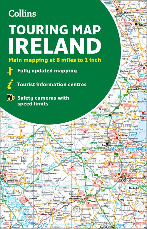
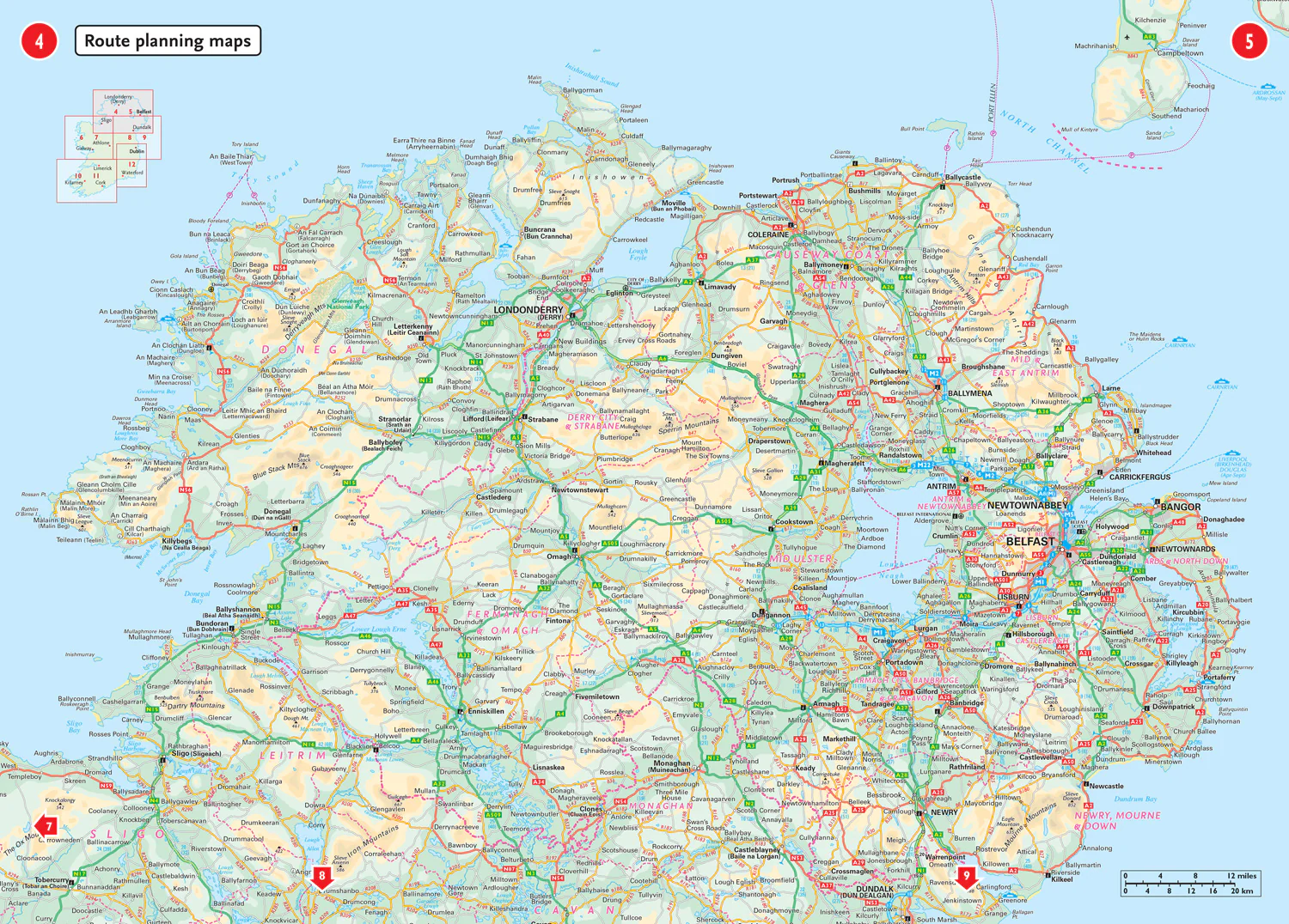
- Clear mapping at a scale of 3.2 miles to 1 inch, which is useful for navigation
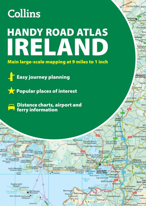
- An additional 9 miles to 1 inch route planning map
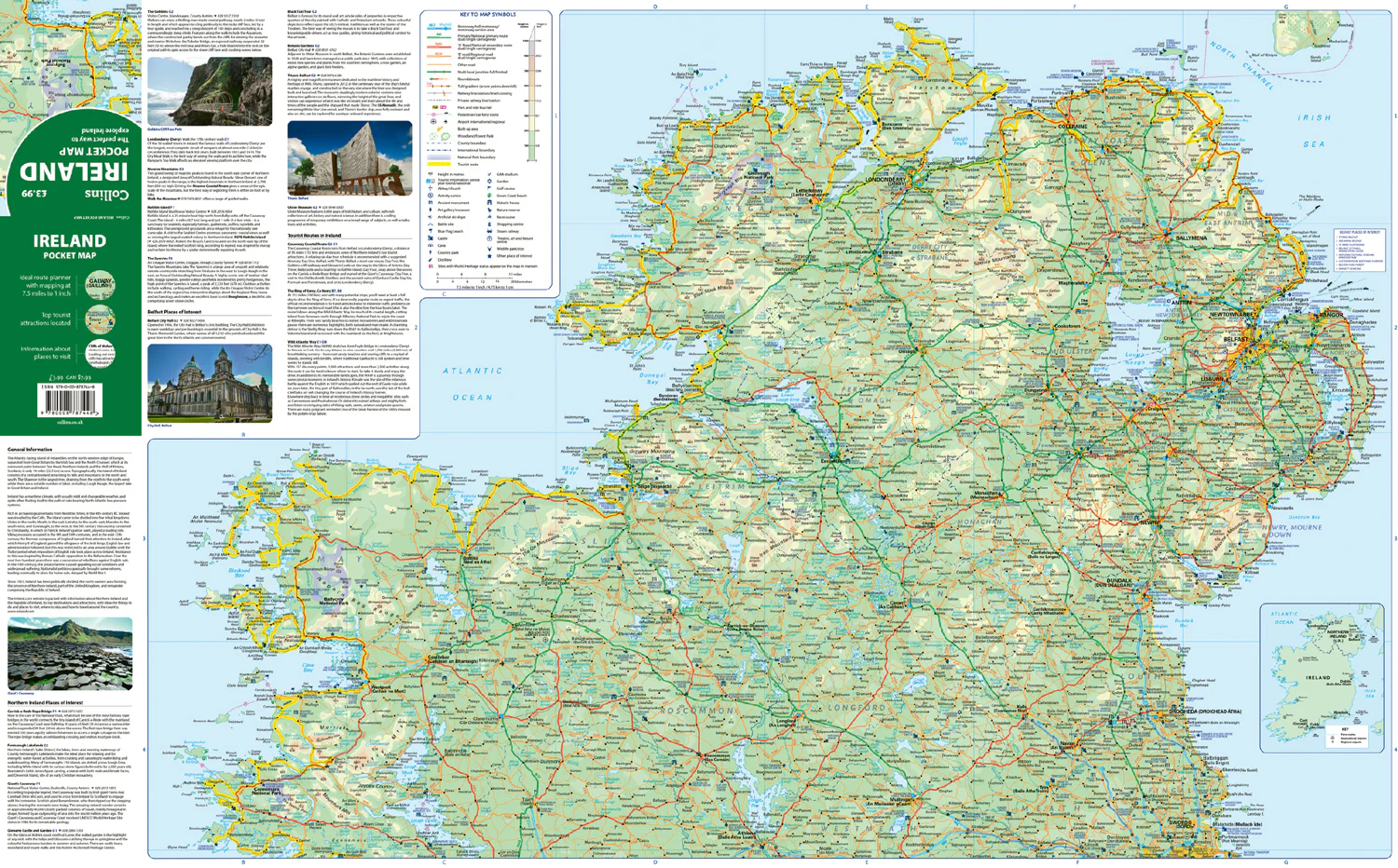
- Places of interest section with information and photographs
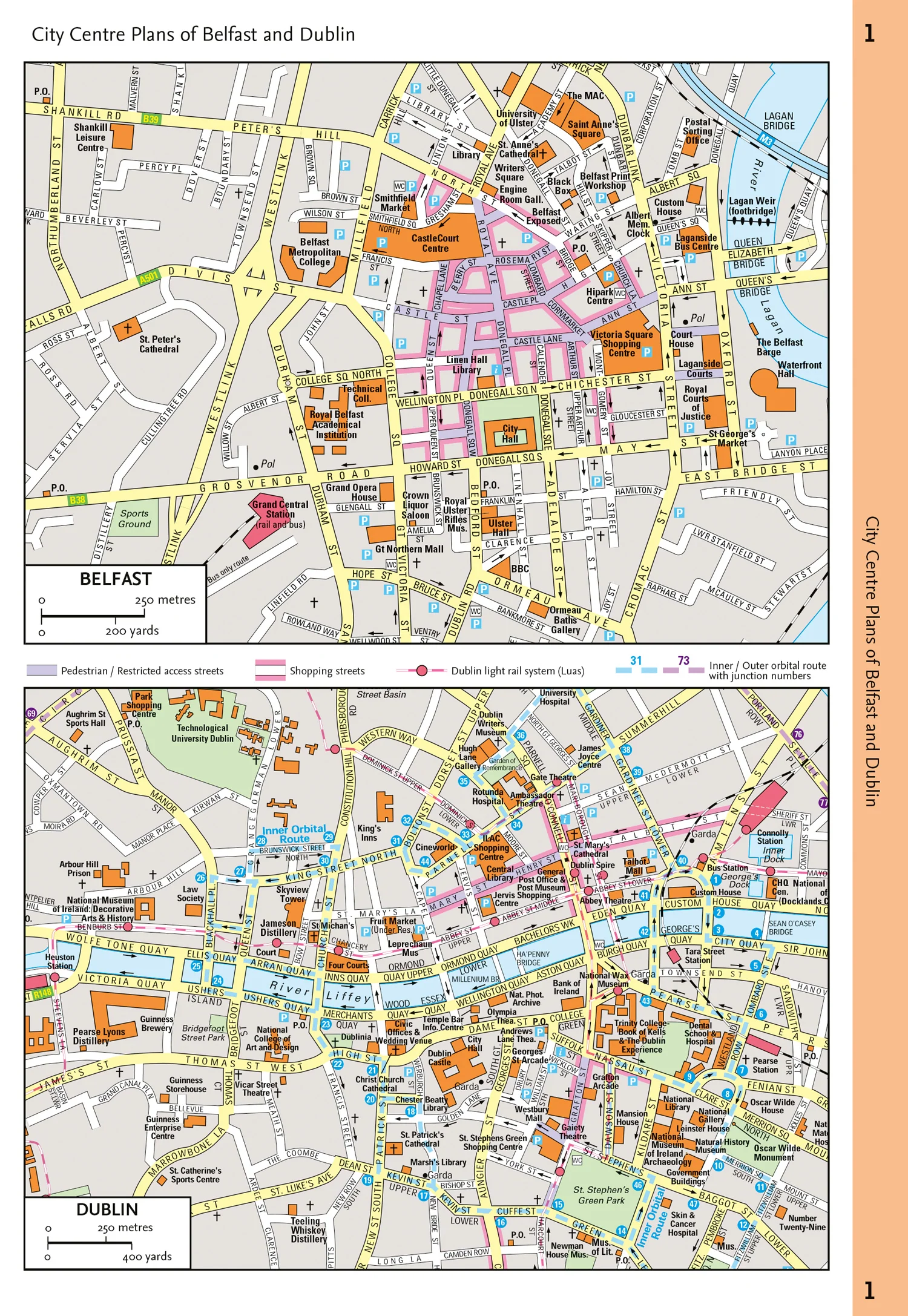
- A range of fully indexed town and city centre maps, including: Bangor, Belfast, Cork, Dublin, Limerick, Lisburn, Londonderry (Derry) and Newtownabbey
This updated edition boasts road mapping packed with detail. There is a colour classified road network that also shows toll roads. Blue Flag and Green Coast beaches are shown along with tourist information centres and a wide range of tourist attractions. There is also comprehensive information for visitors to Belfast, Cork, Dublin and Limerick.
The perfect companion for anyone visiting Ireland.
More Images


Comprehensive Road Atlas Ireland: Easy to read, updated mapping (New edition)
Clear, detailed road atlas of Ireland in a handy A4 spiral-bound format.
This comprehensive, general purpose road atlas is ideal for both business and pleasure.
Highlights include:
- Clear mapping at a scale of 3.2 miles to 1 inch, which is useful for navigation
- An additional 9 miles to 1 inch route planning map
- Places of interest section with information and photographs
- A range of fully indexed town and city centre maps, including: Bangor, Belfast, Cork, Dublin, Limerick, Lisburn, Londonderry (Derry) and Newtownabbey
This updated edition boasts road mapping packed with detail. There is a colour classified road network that also shows toll roads. Blue Flag and Green Coast beaches are shown along with tourist information centres and a wide range of tourist attractions. There is also comprehensive information for visitors to Belfast, Cork, Dublin and Limerick.
The perfect companion for anyone visiting Ireland.
Product Information
Product Information
Shipping & Returns
Shipping & Returns
Description
Clear, detailed road atlas of Ireland in a handy A4 spiral-bound format.
This comprehensive, general purpose road atlas is ideal for both business and pleasure.
Highlights include:
- Clear mapping at a scale of 3.2 miles to 1 inch, which is useful for navigation
- An additional 9 miles to 1 inch route planning map
- Places of interest section with information and photographs
- A range of fully indexed town and city centre maps, including: Bangor, Belfast, Cork, Dublin, Limerick, Lisburn, Londonderry (Derry) and Newtownabbey
This updated edition boasts road mapping packed with detail. There is a colour classified road network that also shows toll roads. Blue Flag and Green Coast beaches are shown along with tourist information centres and a wide range of tourist attractions. There is also comprehensive information for visitors to Belfast, Cork, Dublin and Limerick.
The perfect companion for anyone visiting Ireland.