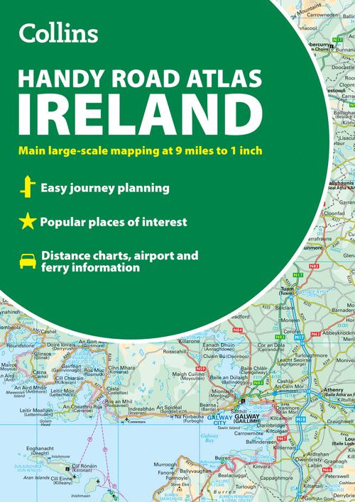
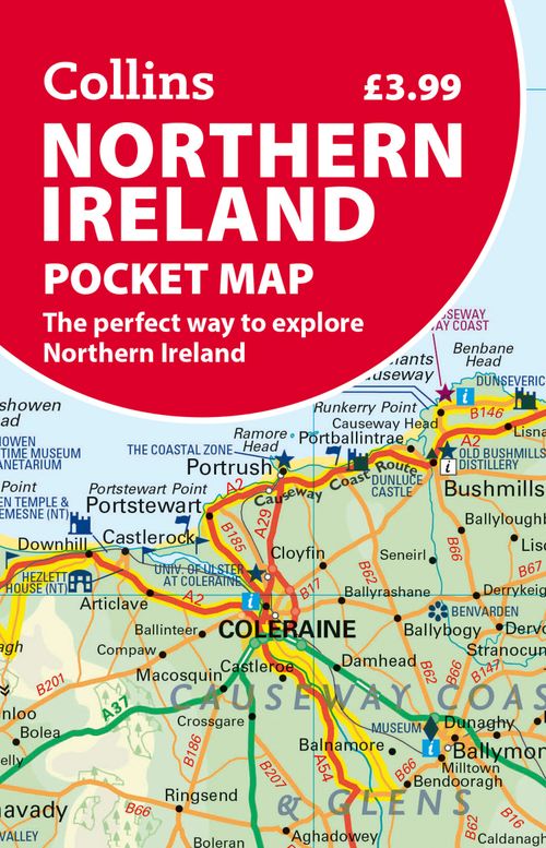
Belfast Pocket Map: The perfect way to explore Belfast
Discover new places in Belfast with this handy pocket map from Collins
Clear mapping from Cliftonville in the north to Botanics in the south, and Shankill in the west to City Airport in the east. Map at a scale of 1:10,000 (6 inches to 1 mile).
Detailed, full colour Collins mapping is presented in a handy format ideal for the pocket or bag. It is excellent value and covers the most visited area of central Belfast. It is an essential buy for tourists and residents alike.
This map includes:
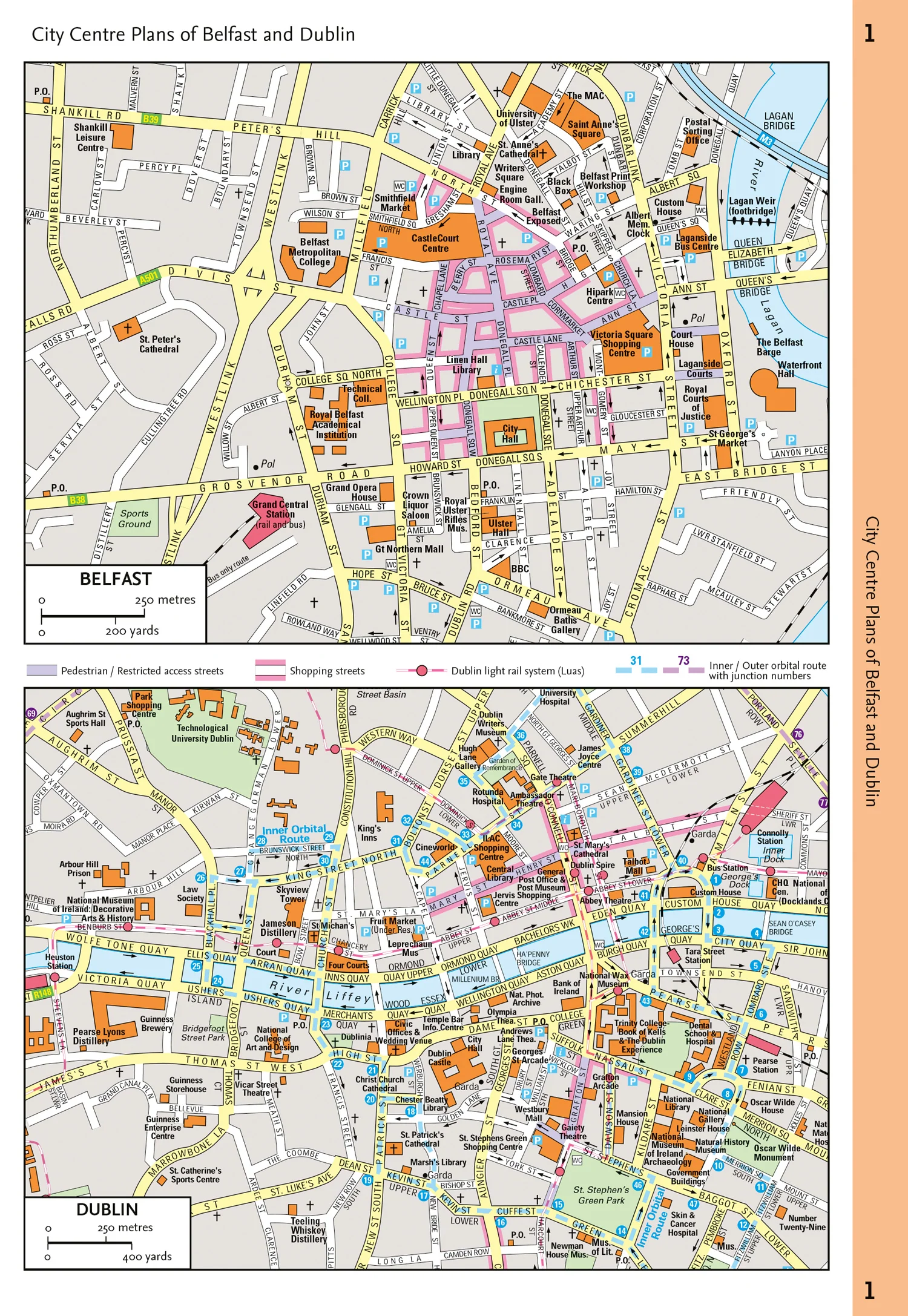
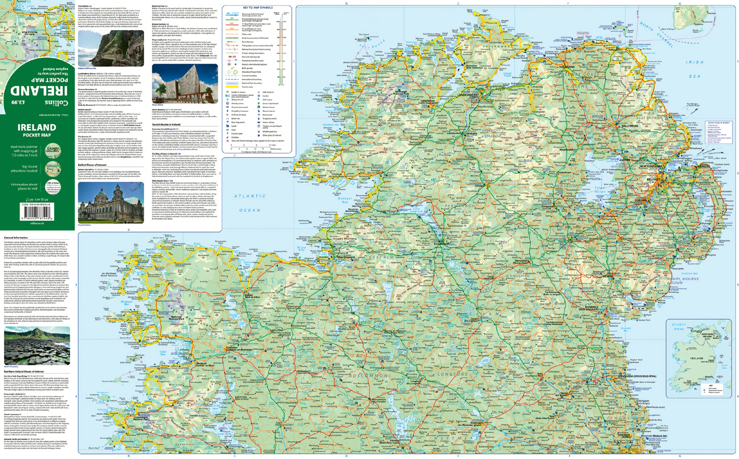
• Detailed central area map
• Tourist locations
• Tram, train and bus stations
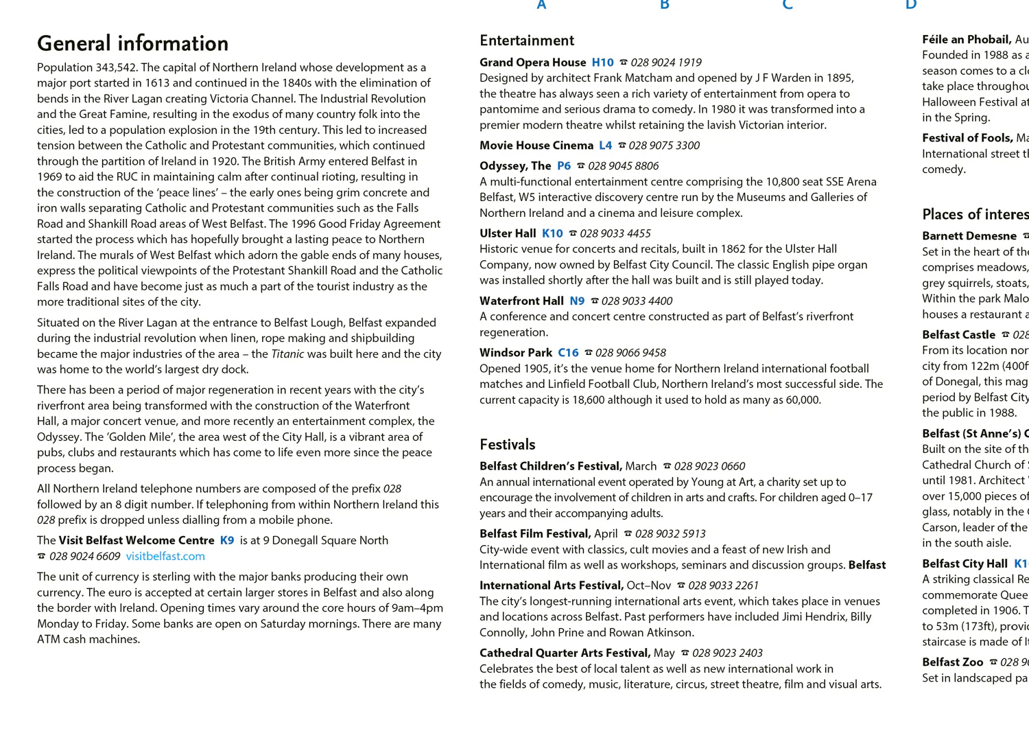
• Extra information on entertainment, festivals, places of interest, shopping and transport links
• Detailed street index
More Images


Belfast Pocket Map: The perfect way to explore Belfast
Discover new places in Belfast with this handy pocket map from Collins
Clear mapping from Cliftonville in the north to Botanics in the south, and Shankill in the west to City Airport in the east. Map at a scale of 1:10,000 (6 inches to 1 mile).
Detailed, full colour Collins mapping is presented in a handy format ideal for the pocket or bag. It is excellent value and covers the most visited area of central Belfast. It is an essential buy for tourists and residents alike.
This map includes:
• Detailed central area map
• Tourist locations
• Tram, train and bus stations
• Extra information on entertainment, festivals, places of interest, shopping and transport links
• Detailed street index
Product Information
Product Information
Shipping & Returns
Shipping & Returns
Description
Discover new places in Belfast with this handy pocket map from Collins
Clear mapping from Cliftonville in the north to Botanics in the south, and Shankill in the west to City Airport in the east. Map at a scale of 1:10,000 (6 inches to 1 mile).
Detailed, full colour Collins mapping is presented in a handy format ideal for the pocket or bag. It is excellent value and covers the most visited area of central Belfast. It is an essential buy for tourists and residents alike.
This map includes:
• Detailed central area map
• Tourist locations
• Tram, train and bus stations
• Extra information on entertainment, festivals, places of interest, shopping and transport links
• Detailed street index